Aosnak (site description)
Access and Location
Aosnak river is one of the few freshwater rivers in Pante Macassar, Sub-Region that flows throughout the year. Located on the road towards the Sakato border (eastern border with Indonesia), about two kilometers east of the Kitahara bay where the Mahata harbor is located., this site is easily accessed by car, motorbike or bicycle. The first settlement found after Mahata is called Kuatnana, where a bridge is being constructed over river Haukeh, which is used to access to Kutete (some 3.5-4 hour hike). The Aosnak bridge, much like the Mahata bridge (over river Haukeh) is currently under construction and is expected to be finalized in December, 2018. The Aosnak river mouth is marked by Nuaf Pono hill (60 meter above sea level) and a dense coastal forest remnant occupying short of one hectare. At the beach front, the vegetation resembles that of other coastal areas in Oe-Cusse found in other site descriptions.
Aosnak Rivermouth (Beach side)
The first large pool of water (LAT: -9.181818°; LONG: 124.404651°) was found to host D. trivialis, and Ischnura senegalensis.
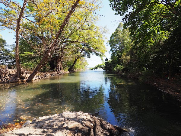
Fig.1-Aosnak river
Most of the river flows in alluvial ground with occasional ponds being formed over some exposed bedrock. A DEM has been created for this, please email me in case you need the model.
Aosnak (first landside pool)
The first landside pool (LAT: -9.183675°; LONG: 124.405962°) was found to host Neurothemis ramburii, O. testaceum,
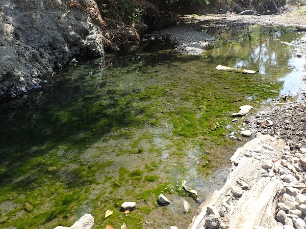
Fig.2-Aosnak river
Aosnak (second landside pool)
The second landside pool (LAT: -9.183966°; LONG: 124.407996°) was found to host O. sabina,

Fig.3-Aosnak river
Aosnak (thirds landside pool)
The second landside pool (LAT: -9.189884°; LONG: 124.413125°) was found to host Xiphiagrion cyanomelas
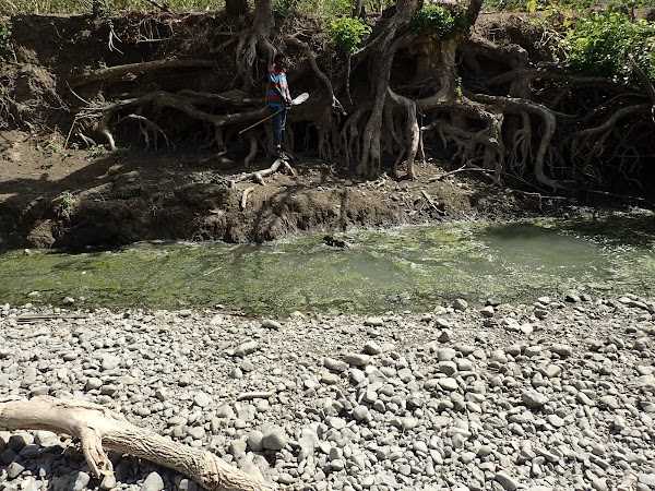
Fig.4-Aosnak river


Comentarios
Agregar un comentario